About Armenia
A compact guide to Armenia—what it’s like, what makes it special, and how to choose the best experiences for your style of travel.
Why Armenia ?
Armenia is one of the world’s best-kept travel secrets - a land where ancient heritage, dramatic landscapes, and authentic encounters exist side by side. Compact yet remarkably diverse, it is a destination that feels both undiscovered and deeply established. For travellers seeking adventure, value history and culture and meaningful experiences in one seamless journey, Armenia is a confident choice.
Effortless Travel, Maximum Reward
Armenia’s compact size allows you to experience extraordinary variety without long travel days. Within a few hours, you can move from vibrant city life to remote mountain monasteries, from alpine lakes to dramatic canyons. It is immersive travel — without logistical fatigue.
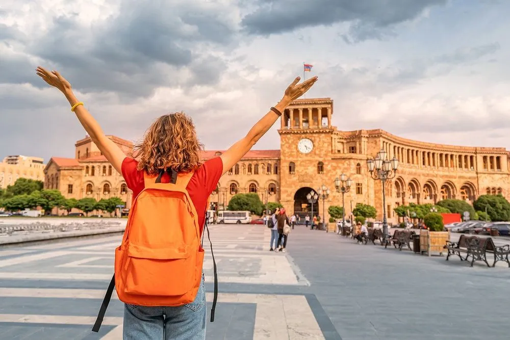
A Vibrant, Creative Capital
Yerevan blends historic architecture with contemporary energy. Open-air cafés, art spaces, rooftop wine bars, and wide boulevards built from pink volcanic stone create a city that feels sociable and refined. Evenings are relaxed, lively, and distinctly European in atmosphere.
Space to Breathe
Unlike heavily trafficked destinations, Armenia offers room to experience places quietly. Landscapes feel expansive, viewpoints are uncrowded, and heritage sites can be explored without queues or rush. Travel here feels unhurried and personal.
Four Seasons, Four Experiences
Armenia transforms beautifully throughout the year. Spring brings wildflowers and fresh mountain air. Summer offers highland escapes and lakeside retreats. Autumn is rich with harvest colours and golden light. Winter reveals snow-covered monasteries and crisp, clear horizons.
Safe, Accessible, and Easy
Armenia is welcoming and straightforward to navigate. Short driving distances, improving infrastructure, and clear entry procedures make it an easy addition to regional travel plans or a rewarding standalone destination.
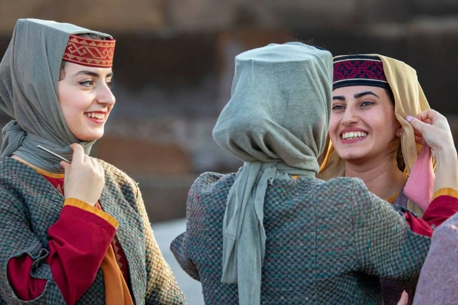
Genuine Hospitality
Hospitality in Armenia is not a service — it is a value. Guests are welcomed warmly, meals are shared generously, and conversations flow easily. Travellers often leave not only with photographs, but with lasting personal connections.
Country Profile
Nestled in the heart of the South Caucasus, Armenia is a land of history, resilience, and breathtaking landscapes. Home to 3 million people, the country boasts a rich tapestry of traditions shaped by centuries of culture, faith, and innovation. Armenia is the world’s first Christian nation, with the Armenian Apostolic Church at its spiritual core. Politically, it is a democratic republic, blending modern governance with deep-rooted cultural heritage. Its vibrant capital, Yerevan, pulses with art, music, and culinary delights, while the surrounding mountains, lakes, and monasteries reflect a country where past and present coexist harmoniously.
Must Visit
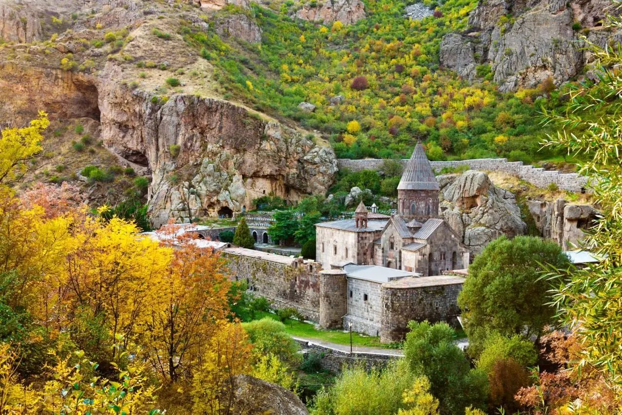
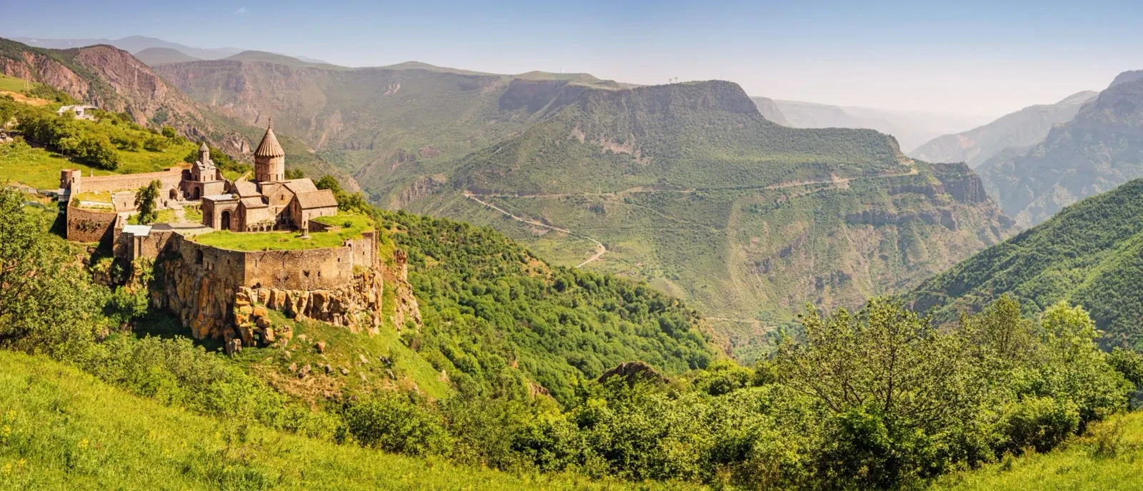
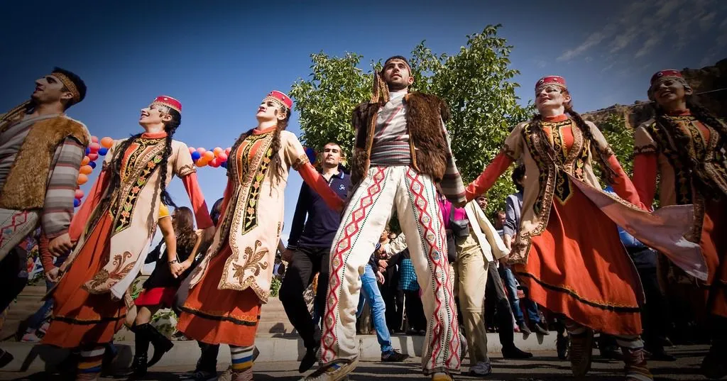
Ancient Monasteries & Cultural Landmarks
An ancient civilisation preserved in age-old monasteries, temples, and historic landmarks.
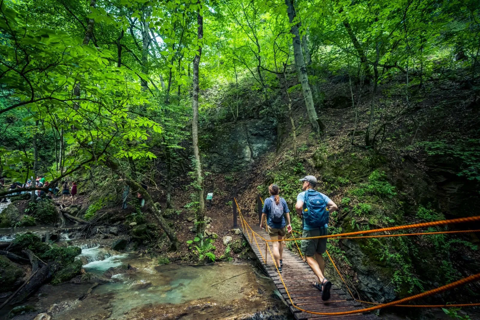
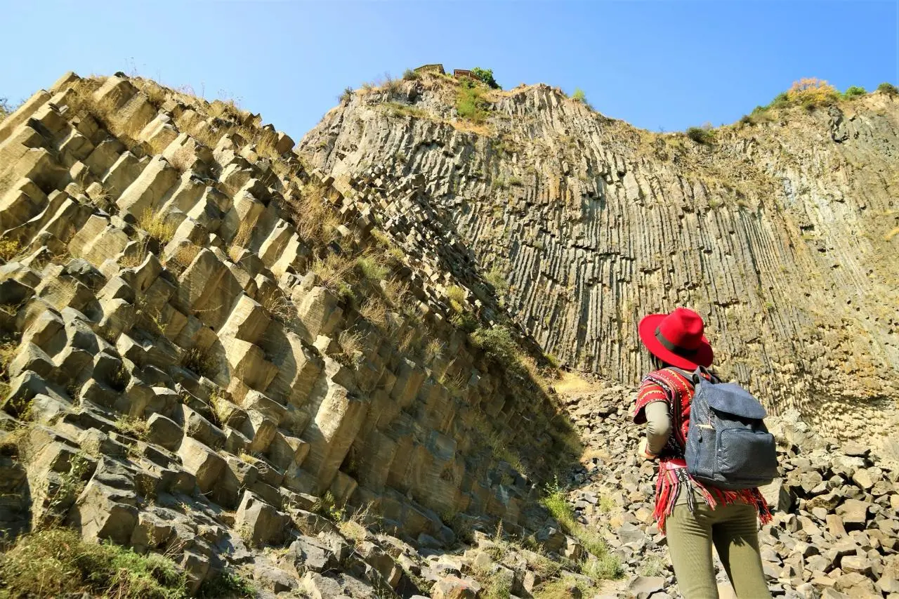
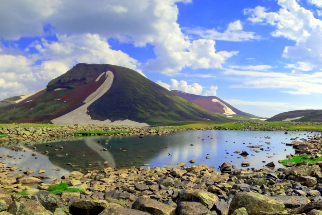
Dramatic Landscapes & Outdoor Adventures
A land where alpine lakes, forested mountains, and deep gorges coexist in natural harmony.
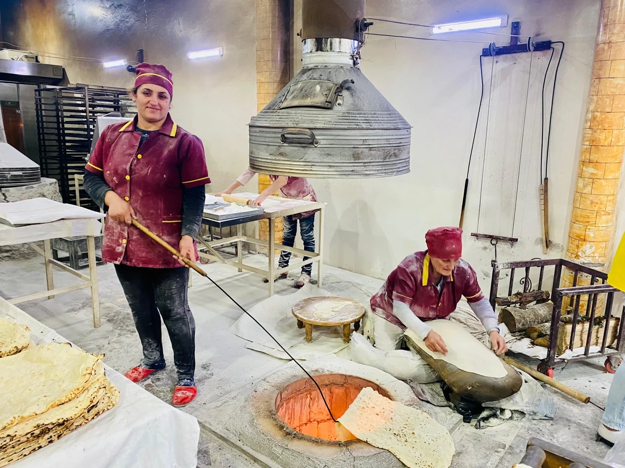
Food, Wine & Local Life
A rich culinary tradition shaped by centuries of hospitality, local produce, and one of the world’s oldest winemaking cultures.
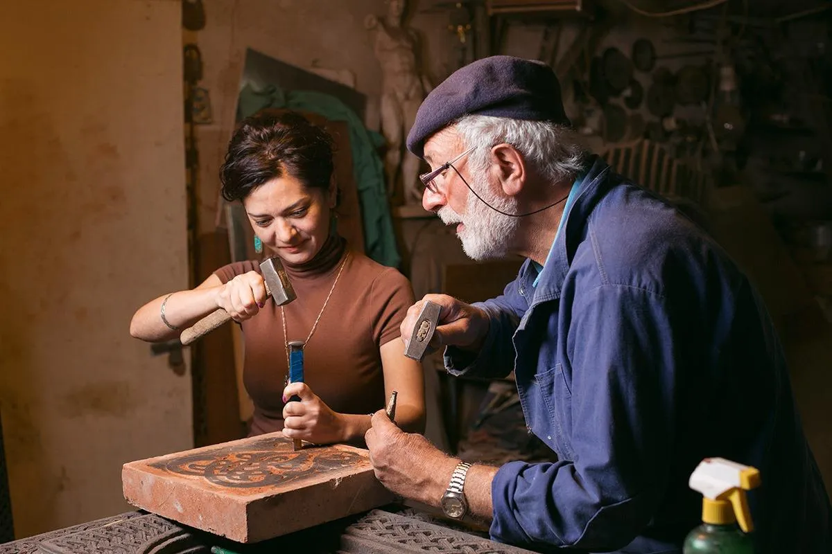
Unique experiences
These are the moments people talk about after the trip—scenes, tastes, and places that feel specific to Armenia.
Related tours


